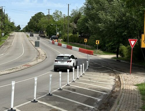
Apparently, the anonymous letter writer who wanted cars to hit Randall White while he rides his bike is in the minority. At tonight’s Oak Cliff Gateway meeting, David Whitley with the Trinity River Corridor Project told residents that the city heard the message from the last meeting (and its craft project maps) loud and clear: a walkable urban environment is key.
That was one of the six overriding themes that emerged from the 18 tables of neighborhood residents who created the maps. Whitley’s overview of the neighborhood’s goals follows after the jump:
• Walkable urban environment — "Lots of folks are concerned about hike and bike and pedestrian connectivity, both into the [Trinity] park and into the adjacent neighborhoods," Whitley says, adding that we need to be "cognizant of this great amenity that this Trinity park is going to be, and allow a lot of access into and out of the park," and be careful with zoning so that when development does come, it doesn’t impinge on this environment.
• Encourage home ownership and affordable middle-income housing — This was voiced by a couple of people during the comment session, including one man in particular who has lived in Lake Cliff for 23 years: "I don’t want to run low-income, hard-working, middle-class people out of my neighborhood. You come down here to the park in Oak Cliff on a Saturday and find hundreds of kids, hundreds of families, hundreds of hard-working people enjoying that park."
This goal recognizes the tension between the more upscale residential lofts, condos and apartments that mixed-use development usually brings, and Oak Cliff’s current housing options, which allows for the diversity that neighbors love and are proud of. Still, the people who gave the city feedback were pretty unanimous in their instruction for major pockets of high-rise, mixed-use zoning, especially right along the Trinity park.
• Encourage redevelopment that brings retail options and job opportunities — "A whole gamut of retail options were suggested, from the corner coffee shop to some kind of national retailers," Whitley says, "again making sure this still held true to this walkable urban environment" and "not just plunking down some sort of big box."
• High quality public spaces — One table referred to it as “life between buildings”, Whitley says. "A lot of times we just worry about the buildings, and anything else is just negative space leftover. What we saw from the group is they wanted to put a lot of thought into those spaces."
• Hike and bike connectivity — See "walkable urban environment" above.
• Mass transit/trolley connectivity — One of the tiny pictures that the tables were given to paste onto the map, indicating zoning preferences, showed Uptown and the trolley traveling along McKinney. "Some folks actually ripped the trolley out of the photos and pasted it around to different places on the map," Whitley says. "I thought, OK, this is something they really feel strongly about."
More to come on last night’s meeting, including how these goals might impact the city’s plans to widen Beckley at Commerce, so keep checking Back Talk Oak Cliff.


