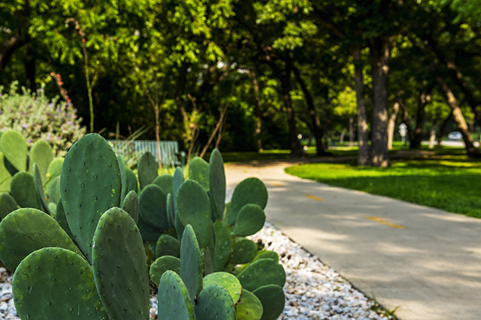
Coombs Creek Trail (Photo by Danny Fulgencio)

Coombs Creek (Photo by Danny Fulgencio)
The Coombs Creek Trail begins as a soft path from the flood protection levee under Beckley. The paved portion begins near Junior Drive.
When it opened in 2009, the Coombs Creek Trail followed a 1.5-mile path along Kessler Parkway to Stevens Park Golf Course.
The trail recently was extended to Colorado, where it makes a left on Plymouth and goes all the way to Hampton.
There is a very preliminary plan to connect it eventually to the Chalk Hill Trail in West Dallas.
On the Kessler Park end, the trail will connect at Sylvan Avenue to the new Interstate 30 bridge, which is expected to open next year. From there it will meet the Trinity Skyline Trail, a major connector in The Loop.

Click to see a larger Coombs Creek Trail map at happytrailsdallas.com/trail-maps (Map courtesy of the City of Dallas)

Coombs Creek (Photo by Danny Fulgencio)